The PRE-TECT campaign
Revealing the secrets of desert dust
1st – 30th April, 2017
Organized by the
National Observatory of Athens
The goal
PRE-TECT is an atmospheric experiment organized by the National Observatory of Athens in the framework of the ACTRIS. The experiment will take place from 1st 30th April 2017, aiming to advance desert dust characterization from remote sensing measurements. It will employ advanced inversion techniques developed in the framework of ACTRIS, focusing on aerosol absorption and aiming to fulfil the objectives of the ACTRIS JRA1 activity ("Improving the accuracy of aerosol light absorption determinations"). The specific aim of the campaign is to validate the remote sensing retrievals against surface and airborne in-situ measurements. The campaign is framed by a number of parallel activities. Learn more.
Campaign partners


The site
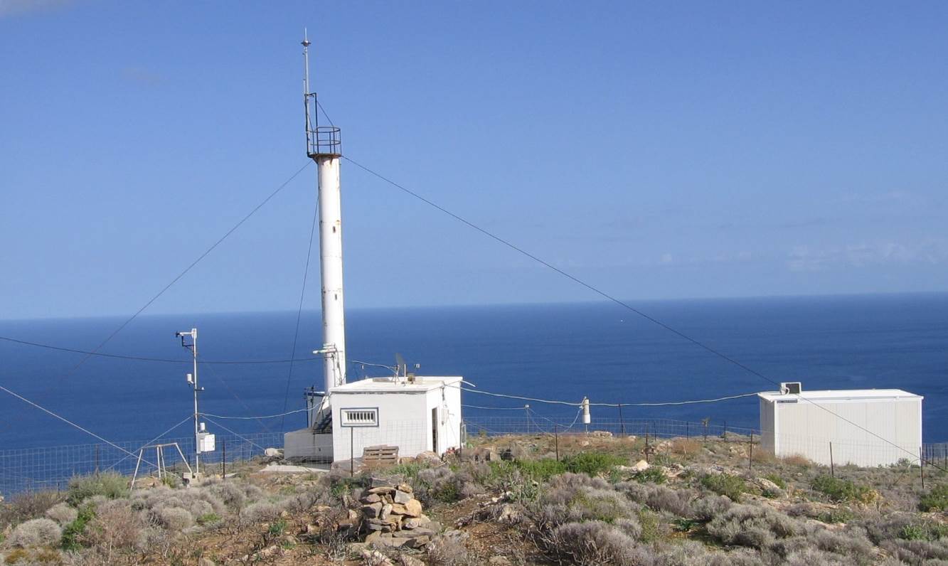
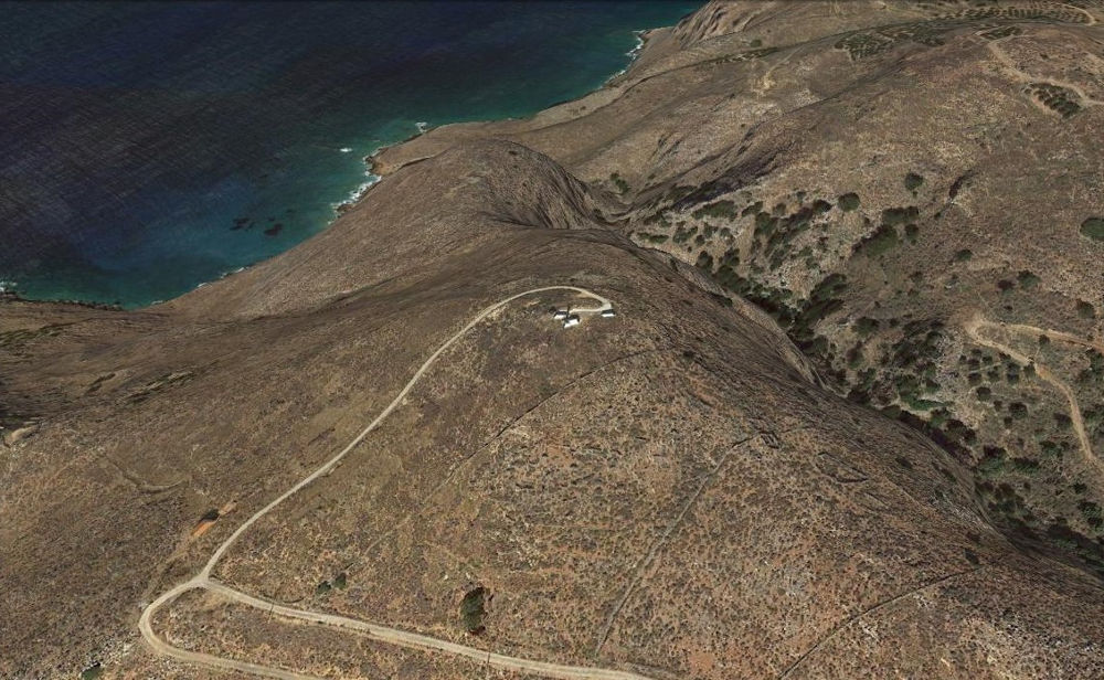
PRE-TECT experiment will take place from 1st to 30th of April 2017 at the Greek atmospheric observatory of Finokalia in the northern coast of Crete. Finokalia, an ACTRIS site of the University of Crete,is located at the top of a hilly elevation (250 m asl) facing the sea within a sector 270o to 90o. The nearest large urban centre is Heraklion with 150.000 inhabitants located 70 km west of Finokalia. The nearest village with 10 inhabitants is at 3 km to the south of the station and no significant human activities occur at a distance shorter than 15km within the above mentioned sector. Learn more.
Instruments
The measurement campaign will employ state-of-the-art remote sensing and in-situ instrumentation. Learn more.
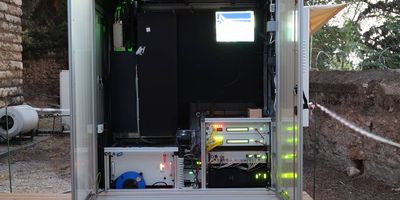
PollyXT lidar NOA
The PollyXT lidar is a fully automated instrument capable of 24/7 operation (Engelmann et al., 20...
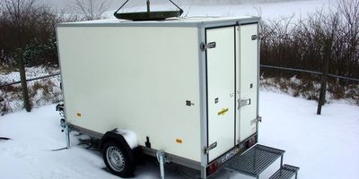
Doppler Cloud Radar MIRA-35 CNR-IMAA
The pulsed Ka-band cloud radar MIRA-35 (formely named MIRA-36) is unique in performance and durab...
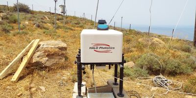
HALO wind lidar FMI
The Doppler lidar, with an operational wavelength at 1.5μm, has a vertical resolution of 30m a...
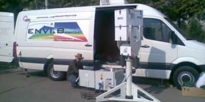
Scanning polarization lidar INOE
The UV depolarization eye-safe Lidar system detects Mie/Rayleigh backscattering from atmospheric ...
Sponsors
The campaign wouldn't be possible without the invaluable help of our sponsors Learn more.
News
Stay up-to-date with what is happening in the campaign by following our latest news. Browse more.

Cloud Radar installation completed March 30, 2017, 1:07 p.m.
The installation of the Cloud Radar at Finokalia site is finished.
Cloud Radar is fully operat...

PollyXT lidar installation completed March 29, 2017, 8:18 a.m.
PollyXT lidar is fully operational.
The installation of the PollyXT lidar to the atmospheric r...
EUFAR awards DoGMA and ClIMA research projects to perform 16 hour flights during PRE-TECT March 9, 2017, 11:42 a.m.
EUFAR awards the two rPRE-TECT related research projects with a total of 16 aircraft flight hours...
2nd ECARS SUMMER SCHOOL Feb. 7, 2017, 2:35 p.m.
This is the 2nd summer school organized in the framework of the ECARS H2020-TWINNING project. The...